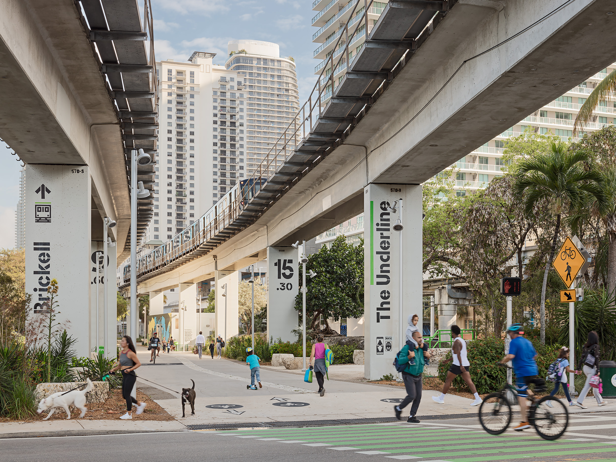
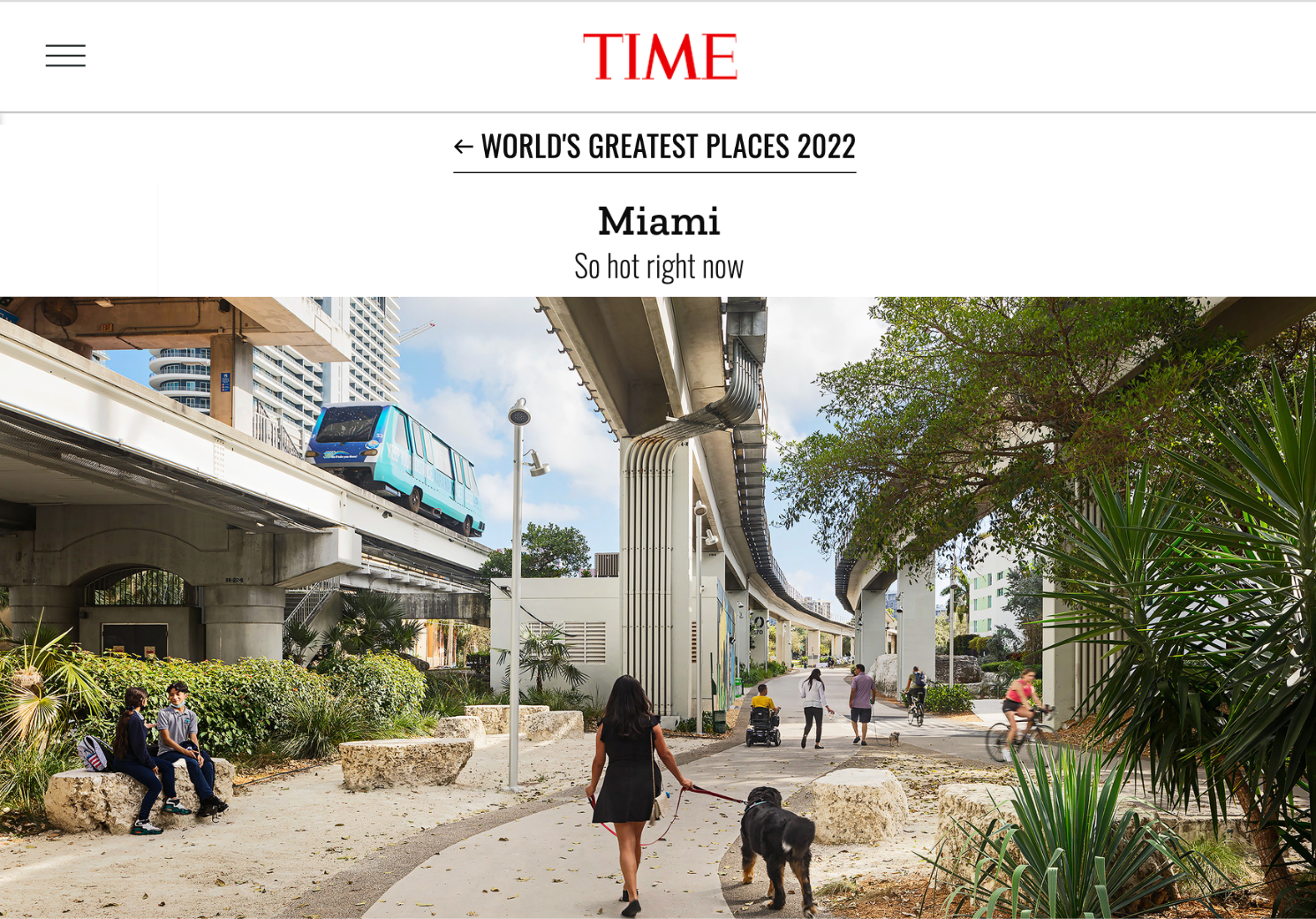
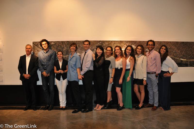
By Barbara Gutierrez, UM News[caption id="attachment_2310" align="alignleft" width="800"]
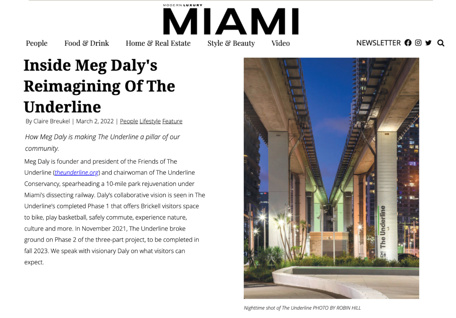
Mid-Term Review of MPath/GreenLine Plan[/caption]An art gallery, a sculpture garden, an elevated park, a soccer field, and plenty of luscious landscapes and bike paths for residents to enjoy. Those are among some of the improvements proposed by a group of University of Miami School of Architecture students for a 10-mile stretch of land underneath Miami’s Metrorail. The students’ designs, presented to an audience of about 100 community leaders, government officials, and professors last Tuesday at the school’s Korach Gallery, would transform Metrorail’s M-Path corridor, which runs from Dadeland South to the Brickell station, into an ideal area for pedestrians and bicyclists. With the changes would also come a new name—GreenLink (now The Underline)—and better connectivity between municipalities such as Miami, South Miami, and Coral Gables. “We taught this studio in a very unusual way,” said Professor Rocco Ceo, who led the design studio with Professor Ray Fort. “We had a lot of people involved from day one, giving input constantly.”Many of those people attended Tuesday’s presentation, including members of the Miami-Dade County Parks, Recreation and Open Spaces Department, Miami-Dade Transit, CoralGables Mayor Jim Cason, South Miami Mayor Phillip Stoddard, and Meg Daly, who came up with the idea of turning M-Path into The Underline and now heads a nonprofit aimed at promoting the plan. During the presentation, Alina Hudak, deputy mayor of Miami-Dade County, recognized the School of Architecture, CEO, and Interim Dean Denis Hector for participating in a project that could transform the entire community.
“The students were tasked with envisioning and laying out the project, and each student was assigned a mile of the 10-mile [stretch of land],” Ceo said. “It was a challenge, but they came up with great ideas.”
Students displayed their renderings on the Korach Gallery’s walls. For James Harris, a second-year graduate student who designed the 3,000-foot stretch between Vizcaya Station and Simpson Park, the major challenge was how to build around Metrorail, whose tracks actually descend to ground level in that area. Harris proposed constructing a pathway above the train, with elevated ramps that would take pedestrians to a children’s park, a soccer field, and enclosed plazas that would allow people “to look at the trains in a way that cannot be experienced in any other way,” he said. In some of their designs, students made better use of underutilized parking spaces and other areas, proposing mixed-use developments and civic space.For Andrea Gonzalez-Rebull, whose work included the Vizcaya Station stretch, the inspiration came from the actual museum and gardens. As part of her project, she designed a sculpture gallery and an art gallery that would be connected by a plaza. She also added a roof garden that would allow pedestrians a chance to reflect and feel a connection to Vizcaya. Stephanie Graziano, a fourth-year undergraduate student, tackled the challenging space near the Miami River where the Metrorail starts at 17 feet of height and goes up to 56 feet. She decided to use suspended passages to help lead the foot traffic and included in her design a sunken garden of ferns and vines where bicyclists and pedestrians could relax, a limestone grotto that could double as a bus stop, and a building with an overhanging open-air room that overlooks the Miami River and could be a seafood or sushi restaurant. “The biggest challenge was the size of the project,” said Graziano. “So we had to concentrate on what would have the biggest impact for the pedestrians and the community.”