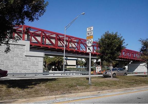
On January 12, cyclists, county officials and Dutch cycling experts convened at HistoryMiami in downtown for ThinkBike2015, a four-day workshop focused on making Miami a more connected and safer place for cyclists.Dutch officials went through a slideshow of road projects that have made the Netherlands one of the safest places in the world to ride a bicycle and showed a short film illustrating cycling culture in the low-lying European kingdom.Another short video drew “aahs” and gasps.It was a virtual ride of a 10-mile stretch of curving asphalt and sidewalks known as the M-Path or MetroPath, underneath the Metrorail from Dadeland South to Brickell station. That stretch is the area of focus for ThinkBike2015.Lisa Riley, who took the day off to attend the event, is an administrative assistant for the School of Nursing and Health Studies at the University of Miami.Her commute from Southwest 220th Street starts with a 1.5-mile drive to a county Park and Ride lot. From there she mounts her bicycle and rides the South Miami-Dade Busway north to the M-Path. She says she rides unlit sections of the busway with her bike lights off because it’s safer that way.“I have encountered other cyclists who have been robbed. I’m a woman and I’m biking alone, so I know the areas,” she said. “So… what works for me is I shut my lights off.”Riley said she’s encountered other shortcomings of the M-Path, including long crosswalks, sharp turns and “a lot of glass.”“For some reason the county will clean up the street but they won’t clean up the path where the bikes go,” she said. “They’ll leave the debris from the accident there so it’s up to the cyclists to remove it -- or get a flat.”John Ricisak of Miami-Dade County’s Division of Environmental Resources says his experience with the M-Path includes ill-designed paths and close calls with cars.
“The most difficult part of the ride is coping with traffic,” he said. “There’s a lot of points along the route that are rather unsafe. Some of the crossings are very inconvenient. They almost force a rider and a pedestrian into unsafe situations.”
In the almost quarter-century Ricisak has been riding to work, he thinks he’s “saved thousands and thousands of dollars for sure,” and also says the 15-mile, hour-long ride has kept him in good health.When he first started taking the M-Path to work, he says, finding other cyclists was a rare occurrence.“Slowly more and more people are taking to riding to their bikes. There are more younger people using it [the M-Path],” he said. “People with young children using it and I think that might be a reflection of some of the development happening around.”Photo credit Daniel Christensen.